

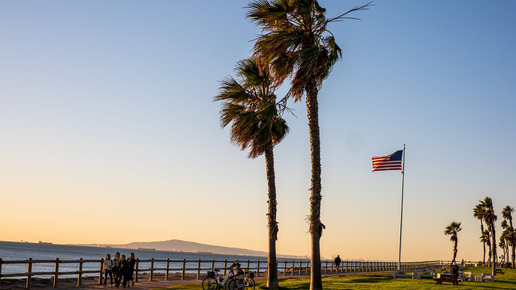
The homes in Huntington Beach
Huntington Beach is a large city and the housing changes a lot from one end to the other. The inland and southeast parts are mostly single-family tract homes from the 1960s and 1970s. Downtown has narrow lots near the pier with older cottages beside newer three-story homes and condos. Huntington Harbour has waterfront houses with boat docks. Across the city there are also condos, townhomes and manufactured-home parks.
Neighborhoods and tracts
Huntington Harbour, in the northwest corner, was started in 1963 and is built on channels around five man-made islands: Admiralty, Davenport, Gilbert, Humboldt and Trinidad. Sunset Beach, the strip along Pacific Coast Highway beside it, was annexed by the city in 2011. Between the Harbour and Downtown lies the Bolsa Chica Ecological Reserve, a protected wetland.
Downtown is the area around Main Street and the pier. Seacliff, northwest of Downtown, is built around a golf course in an area that was once part of the oil field. Edwards Hill, just east of Seacliff, has larger lots and horse trails. Southeast Huntington Beach, toward the Santa Ana River, is mostly 1960s and 1970s tracts.
Schools
Huntington Beach Union High School District runs the public high schools: Huntington Beach, Edison, Marina and Ocean View in the city. Below high school the city is divided. Huntington Beach City School District and Ocean View School District cover most of it, and small parts are in Fountain Valley School District or Westminster School District. Golden West College is in the city as well. Ask Tony to confirm the assigned schools for the exact address with the district.
Parks, shopping and landmarks
The Huntington Beach Pier at the foot of Main Street is the city's landmark, with the International Surfing Museum a few blocks inland. Huntington Central Park covers about 350 acres and holds the Central Library, which opened in 1975. Pacific City on Pacific Coast Highway and Bella Terra near the 405 are the main shopping centers. The Newland House, built in 1898, is the oldest home in the city and is now a museum.
Getting around
The 405 runs along the northeast edge of the city, so the beach neighborhoods are several miles of surface streets from the freeway. Beach Boulevard, State Route 39, is the main route between the 405 and the coast. Pacific Coast Highway runs the length of the shoreline toward Seal Beach and Newport Beach. Goldenwest, Brookhurst and Magnolia streets also run north and south. There is no Metrolink station in the city. OCTA runs the buses.
Buying in Huntington Beach
Ask first whether the land is included. Some condo communities, such as Harbour Vista, and the manufactured-home parks sit on leased land, where the owner pays ground rent or space rent and the lease has an end date. That changes which loans are available and what the home is worth later. Tony is a REALTOR and a licensed mortgage loan originator (NMLS ID 2359276) and can go through what you may be able to borrow before you tour.
Parts of the city, including much of the waterfront in Huntington Harbour, are in federal flood hazard zones where a lender requires flood insurance. Homes near the coast can fall in the Coastal Zone, which can add a permit step to a remodel. Oil was found here in 1920 and some pumps still operate, so ask Tony to check for old wells on or near a lot.
Selling in Huntington Beach
Buyers will ask about the items above, so have the answers ready: the flood zone for the address, any ground lease and its end date, HOA documents, and for the Harbour, the dock and seawall records. Permits matter for additions and rebuilt homes near the coast. Tony has held a California real estate license since 2007, speaks fluently in English and Arabic, and works in Huntington Beach from his office at The Real Estate Solution in Cerritos.


